

Geogarage, Google Map with NOAA Marine Chart Overlay
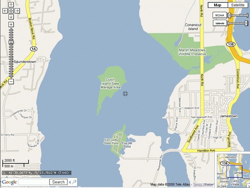
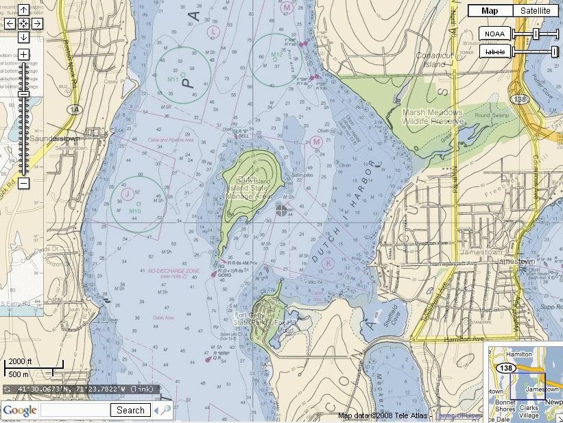
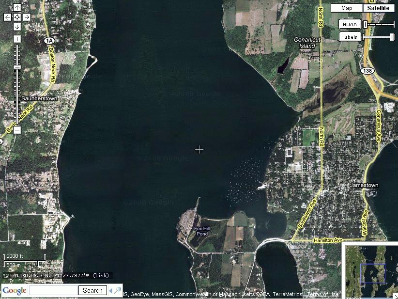
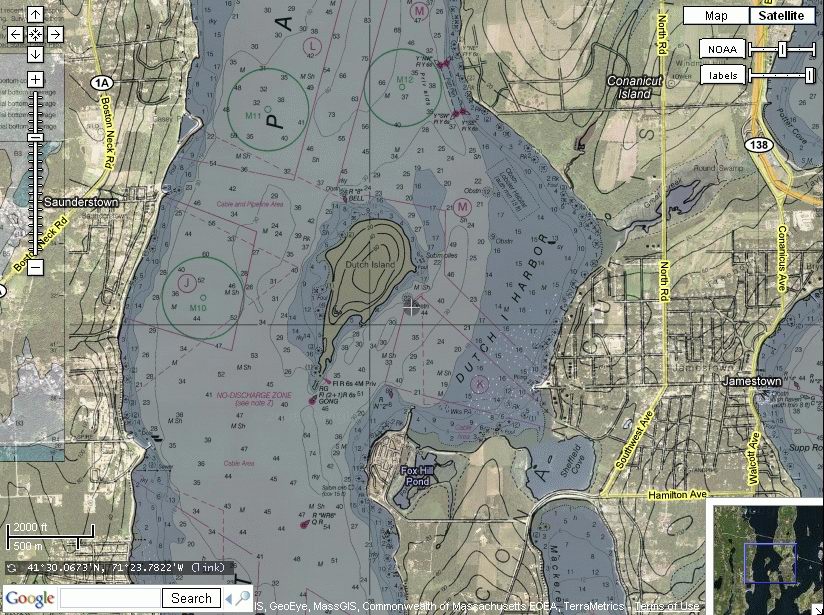
The demo is http://demo.geogarage.com/noaa/. The company (French) Magic Instinct Software, has produced GeoGarage, a spatial image server. In short, Google satellite images are layered with NOAA marine charts which gives you a better look at an area. This is demo software so there is no guarantee that it will be available in the future, or free in the future. Someone has to pay for the license to use the Geogarage software to produce the maps. This Geogarage page shows what is happening. So for now someone is paying for the Geoserver. To use the World map, double click on an area (with the NOAA chart overlays). You continue clicking down to where you want to go. You can also use the Google slider on the left to zoom or pan around, or you can use the mouse to drag the screen where you want it. The sliders in the upper right corner allow you to vary the tranparency of either the charts or the labels (ie the road names, etc). If you click the "Map" button you can vary the tranparency of the Google maps and the overlain NOAA charts. Likewise if you click on the "Satellite" button, you use the slider to vary the tranparency of Google Satellite images and overlain NOAA charts. The following clips show the effects. Note that in the satellite view, Dutch Island is missing. (It seems to vary according to the latest images obtained by Google.) So much for relying on satellite views.
|
|
|
|
|
|
You can print the screen with your browser, although I think the half views are confusing to say the least. But the system is useful to print out exact views of an area on separate paper maps.